
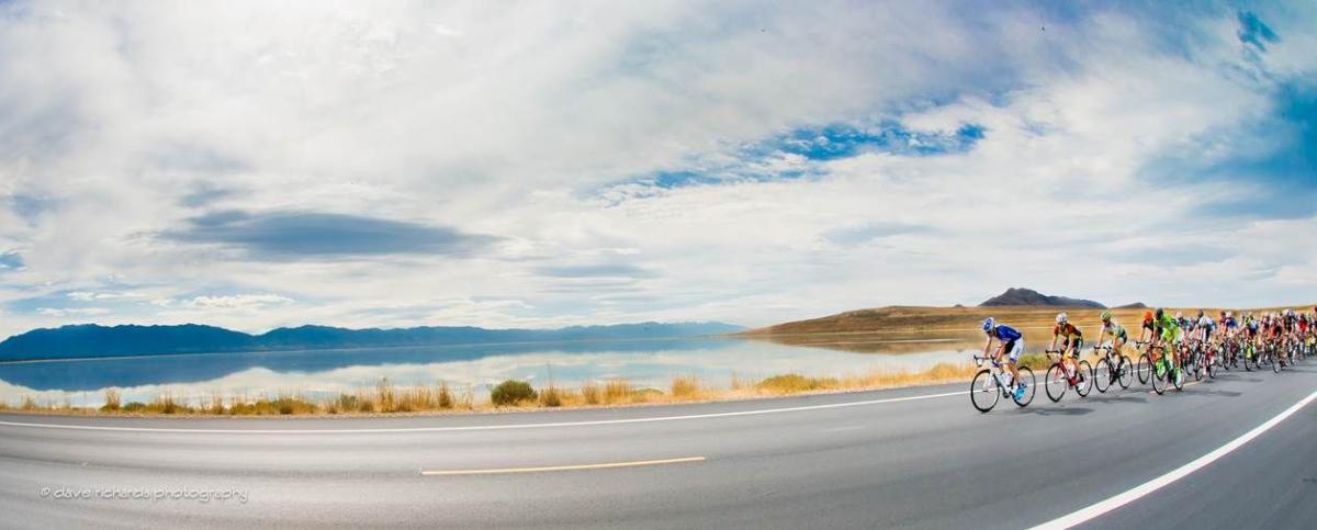
It’s no secret that Salt Lake is bit of a cycling mecca. America’s toughest stage race—The Tour of Utah—has called Salt Lake and Utah home for almost 20 years, and many cycling pros call Salt Lake home. Equal parts beauty, access, and high-altitude trainers dream, Salt Lake is home to a healthy and booming cycling culture. Add to that an extensive bike lane network throughout the city, and proximity to some of the best canyon cycling in America, and you get an idea why you see so many bikes in and around our city.
We picked 10 of our favorite rides near the city, and we’ve broken them into categories so that you can find your perfect ride.
CANYON CLIMBING
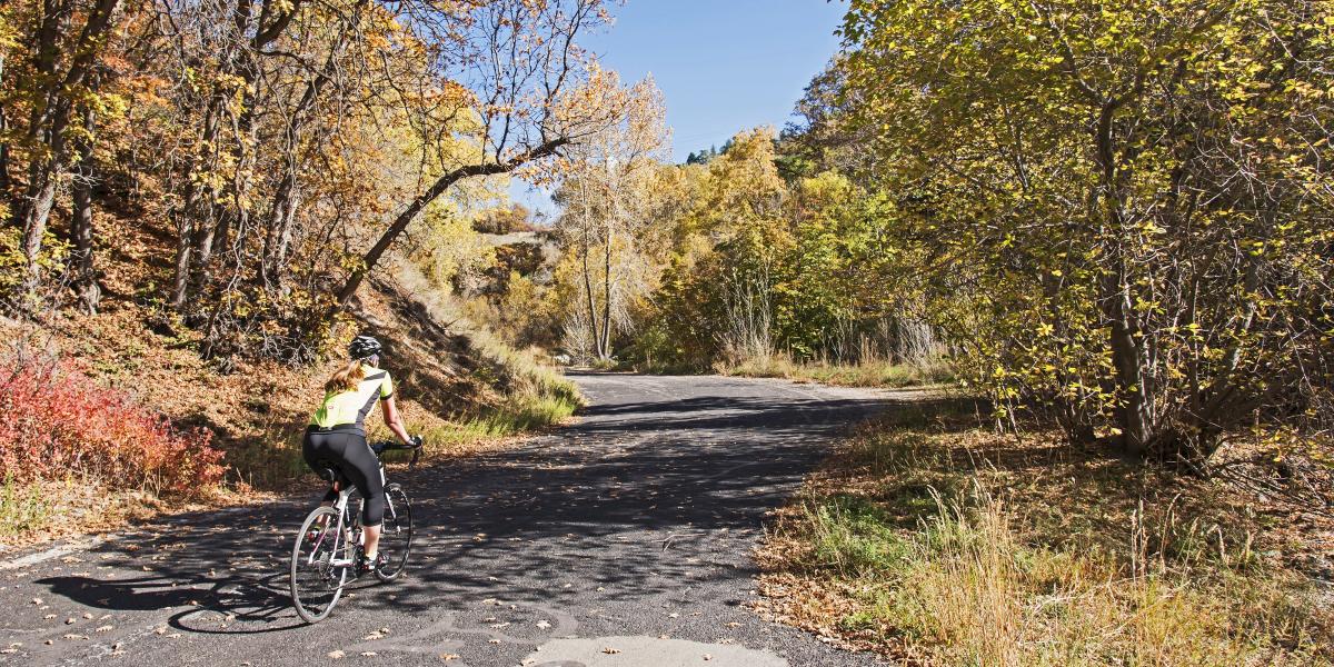
City Creek Canyon
Stats
Distance (out and back): 10 miles
Elevation gain: 1122 feet
Notes: Relatively consistent grade, with a few short, punchy sections
Pros
- Super easy access from downtown
- Closed to cars on odd days
- Stays relatively shady and cool in the hot, hot heat of summer
- Wildlife sightings
- Beautiful forest setting
Cons
- Closed to bikes on even days
- Lots of dogs, walkers, and joggers in the road over the first mile
- Rattlesnakes (they mostly stay on the nearby dirt trails, but stay aware)
- Road quality is a bit sketchy in some sections; expect a few potholes, rough asphalt, and some water
Map
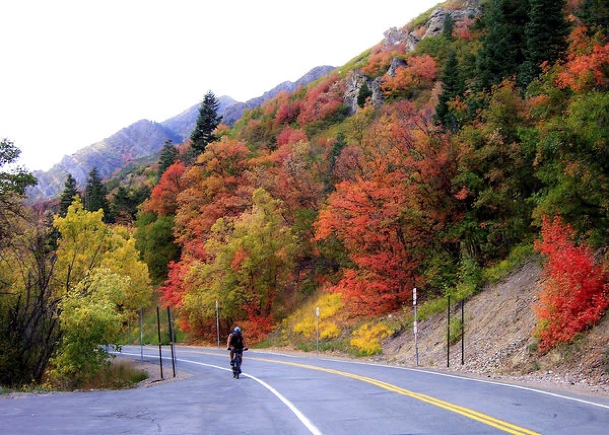
Emigration Canyon
Stats
Distance (out and back): 16 miles
Elevation gain: 1339 feet
Notes: Relatively consistent grade, with a couple of long switchbacks at the end. The ride typically ends at Little Mountain Summit; continue on to Big Mountain Summit for a good dose of extravert over 7 additional miles.
Pros
- Easy access from the University neighborhood
- Wide shoulder
- Consistent bike traffic means bike-aware drivers
- Good road quality
- Wildlife sightings (deer, moose, coyotes)
- Canyon scenery and cool old houses to check out along the way
- Ruth’s Diner on the way back down
- Lots of options for tacking on additional miles
Cons
- Low to moderate traffic
- Not quite as scenic as the other canyons… but still so pretty that we can barely call that a con
Map
Millcreek Canyon
Stats
Distance (out and back): 18 miles
Elevation gain: 2628 feet
Notes: Relatively consistent grade; gets noticeably steeper passing Elbow Fork, as well as over the last couple miles.
Pros
- Easy access from the Millcreek neighborhood
- Stays relatively cool in the summer
- Wildlife sightings
- Beautiful forest setting
- Less traffic than other nearby canyons
Cons
- Road quality can be a little iffy above Elbow Fork
Map
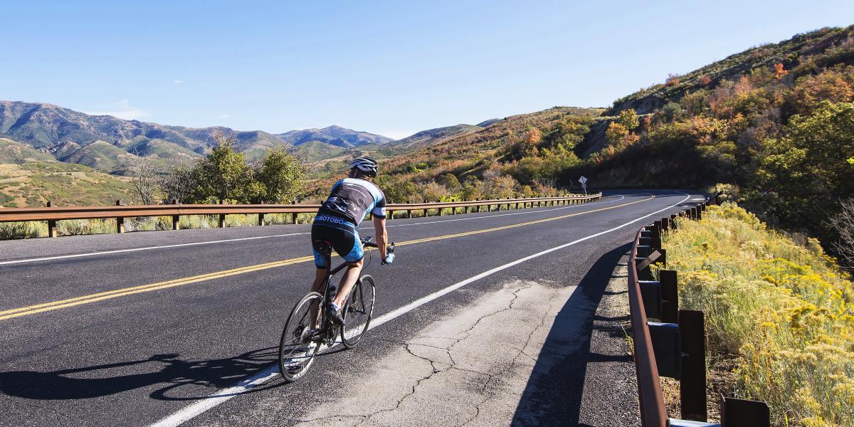
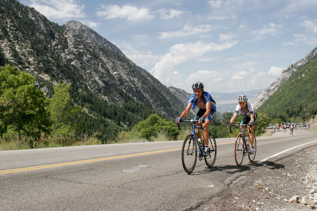
Big Cottonwood Canyon
Stats
Distance (out and back): 30 miles
Elevation gain: 4104 feet
Notes: Relatively consistent grade, with steeper climbs past Storm Mountain and between Solitude and Brighton ski resorts. For an extra challenge,turn up Guardsman Pass just before reaching Brighton.
Pros
- Easy access from the Cottonwood Heights neighborhood
- Wide shoulder
- Good road quality
- Wildlife sightings (deer, moose, coyotes)
- Dramatic, glacier-cut canyon views
Cons
- S-curves and Storm Mountain descent can cause some first-timers to experience vertigo
- More traffic than Millcreek, and generally speaking, the drivers are less predictable than those in Emigration
- Occasional rock fall; keep your eyes peeled during descent
Map
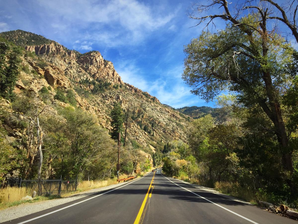
Little Cottonwood Canyon
Stats
Distance (out and back): 18 miles from the mouth
Elevation gain: 3369 feet
Notes: Relatively consistent (but steep) grade
Pros
- Easy access from the Cottonwood Heights neighborhood
- Moderate shoulder
- Good road quality
- Wildlife sightings
- Dramatic, craggy canyon views
Cons
- More traffic than Millcreek, and, generally speaking, the drivers can be less predictable than those in Emigration (PSA: We recommend NOT doing this ride during Oktoberfest).
- Occasional rock fall; keep your eyes peeled during descent
Map
FUN, FLAT(ISH) RIDES
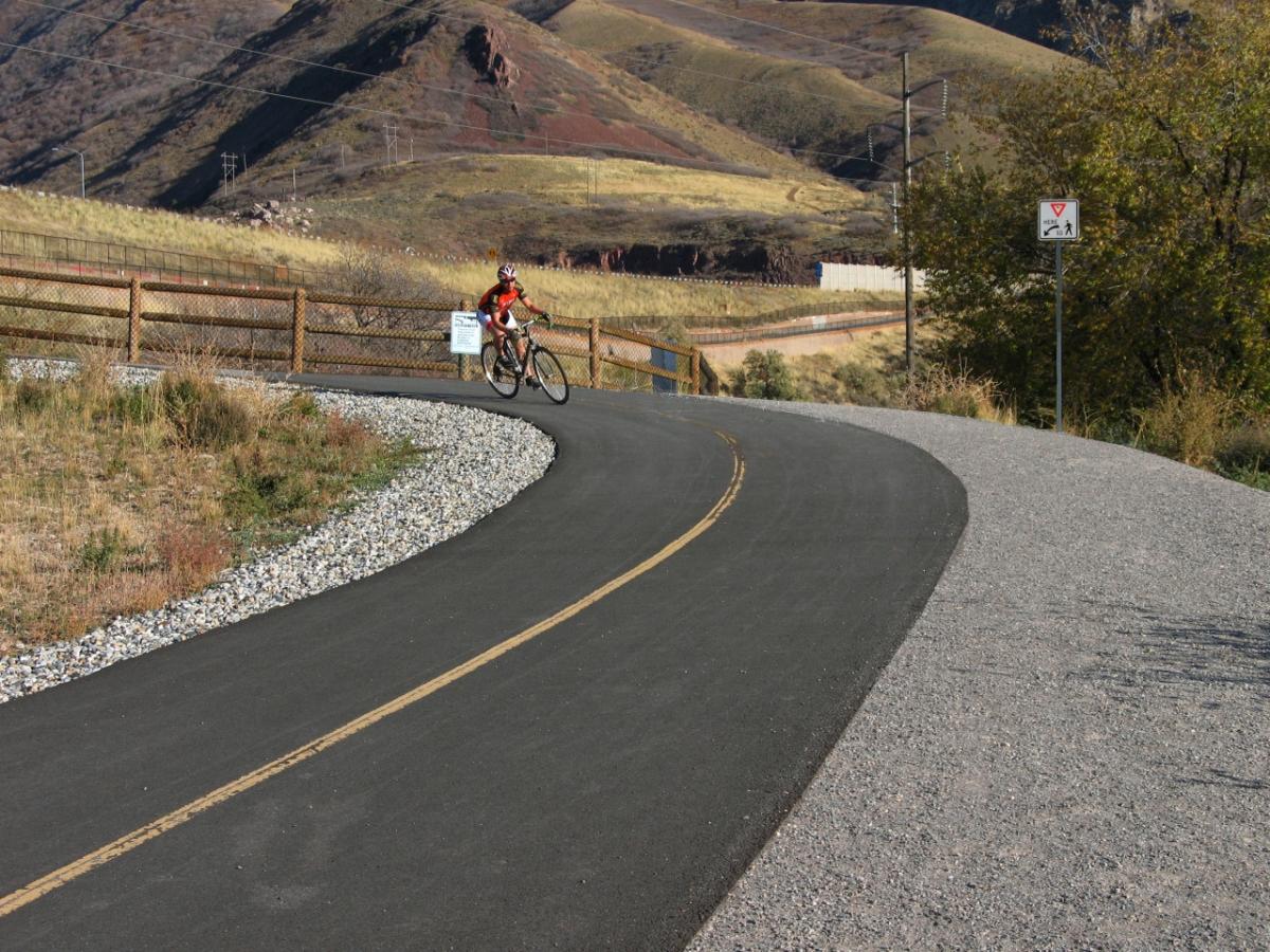
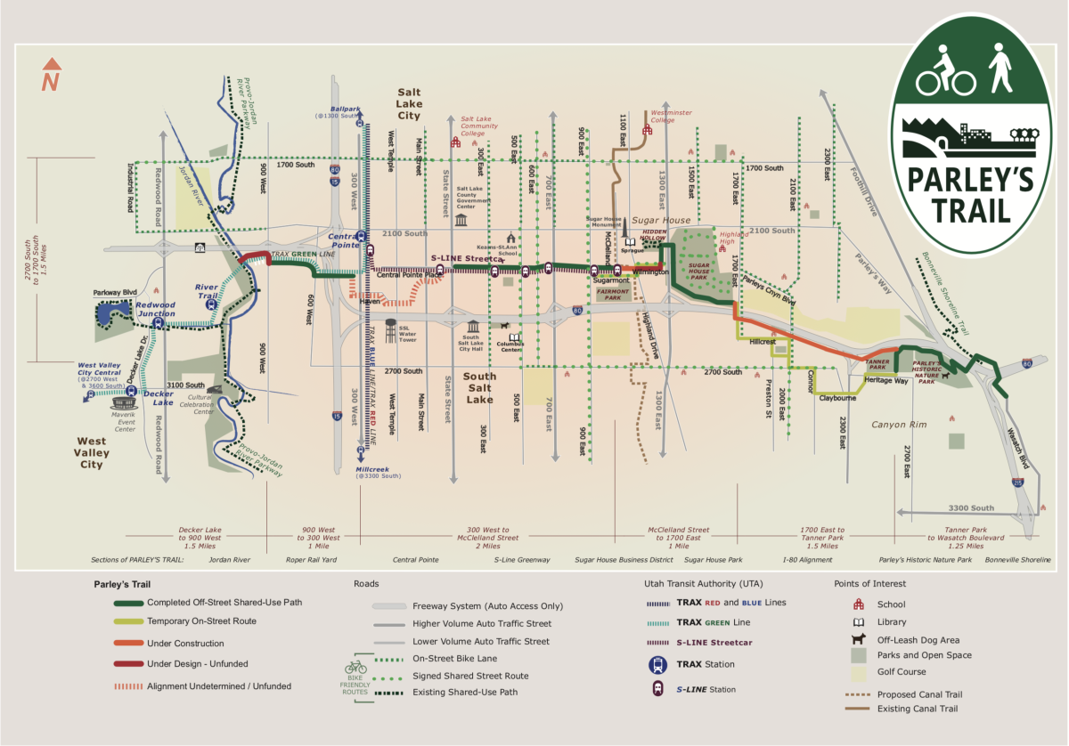
Parley’s Trail
Stats
Distance (out and back): 16 miles
Elevation gain: Unknown
Notes: Fun, rolling bike trail along I-80, with several hop-on/hop-off spots in the Sugarhouse and Millcreek neighborhoods. Recommend starting in the Hidden Hollow, behind PetSmart. Parley’s Trail links up with Wasatch Boulevard.
Pros
- Easy access from the Sugarhouse and Millcreek neighborhoods
- No cars
- Good paved path quality
- Provides access to two city parks: Sugarhouse and Tanner
- Fun link-up with other bike routes, as well as with the Sugarhouse streetcar.
Cons
- Dogs and walkers on the trail; be aware
Map (sections marked “under construction” are now open)
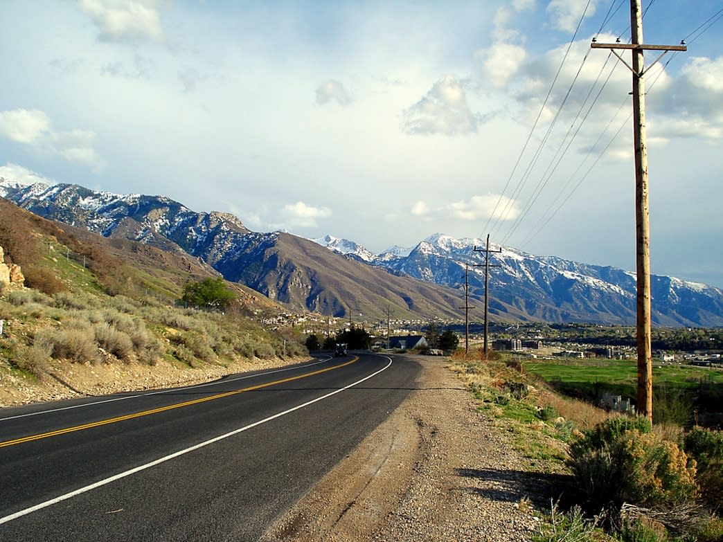
Wasatch Boulevard
Stats
Distance (out and back): 20 miles
Elevation gain: 663 feet
Notes: Relatively flat suburban ride with mild elevation gain between the mouths of Big and Little Cottonwood Canyons. Links up with Parley’s Trail, Millcreek Canyon, Big Cottonwood Canyon, and Little Cottonwood Canyon.
Pros
- Easy access from the Millcreek neighborhood
- Wide shoulder
- Good road quality
- Fairly uninterrupted city riding with minimal traffic lights
- Fun link-up options with other bike routes on this list
Cons
- Traffic
- First half of the ride isn’t very scenic, but the second half offers a sweeping view of the Salt Lake Valley
Map
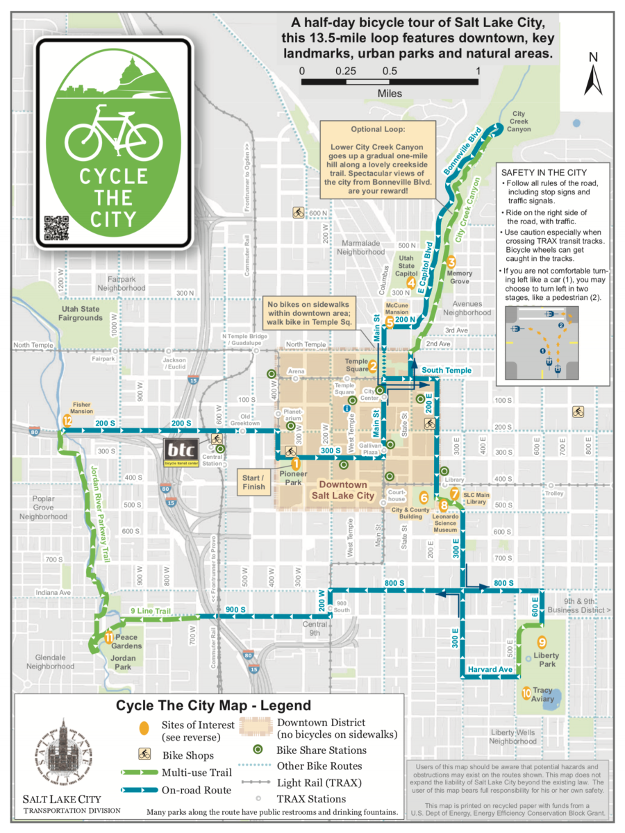
Cycle the City

Stats
Distance (loop): 13.5 miles
Elevation gain: Negligible
Notes: Relatively flat city ride
Pros
- Lots of fun city stops and sights along the way
- Can be done on a GREENbike
- Good road quality
- Bike lanes or bike paths on the entire route
- Fun link-up with City Creek Canyon
Cons
- Traffic
- Stop lights
Map
Saltair
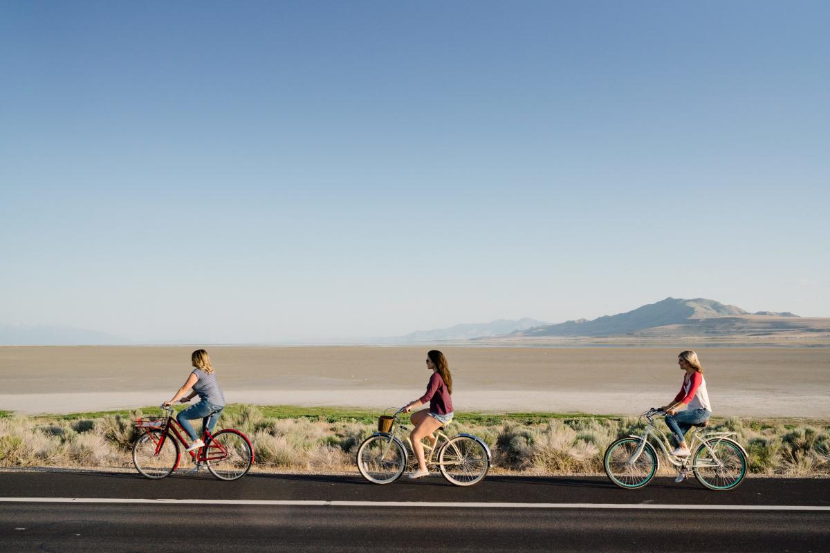
Stats
Distance (out and back): 20 miles
Elevation gain: Negligible
Notes: Relatively flat ride on a frontage road; double the distance if you start riding from downtown.
Pros
- No stoplights
- Very little traffic
- Unique, lunar landscape across the Salt Flats toward the Great Salt Lake
Cons
- Can be buggy
- Can be windy (usually it’s a headwind out and tailwind back)
- Can be hot; wear sunscreen
Map
Antelope Island to Fielding Garr Ranch
Stats
Distance (out and back): 36 miles
Elevation gain: Negligible
Notes: Relatively flat ride. For a really long, flat ride that traverses much of the Wasatch Front, hop on the Jordan River Trail, connect to the Legacy Trail, and take Antelope Island Drive out to the Antelope Island Causeway.
Pros
- No stoplights
- Relatively sparse traffic
- Good road quality
- Beautiful views of the island and the Great Salt Lake
- Wildlife sightings (bison, pronghorn, rabbits, coyotes, badgers, rabbits, eagles...)
- Stops at the historic Fielding Garr Ranch; take a free tour
Cons
- Can be buggy
- Can be windy
- Can be smelly (decomposing algal blooms give off hydrogen sulfide gas in the Farmington Bay)
- Can encounter bison crossings; give a wide berth
Map